 Official Louisiana State Websites use .la.gov
  Secure .gov websites use HTTPS
 Featured Brownfield Tool: Brownfield Inventory Tool from Kansas State University’s Technical Assistance to Brownfield Program
Know you have vacant and abandoned properties in need of environmental work in your community but don’t have a comprehensive list? Looking to apply for Brownfield funding and need information to bulk up your Community Needs section? Try out Kansas State University’s Technical Assistance to Brownfield Program’s Brownfield Inventory Tool (BiT)!
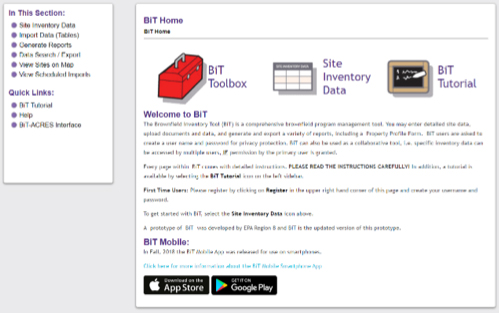
The Brownfield Inventory Tool (BiT) is a free, web-based, comprehensive site inventory and Brownfields program management tool. Although designed for users working under an Environmental Protection Agency (EPA) cooperative agreement, any entity working on establishing an inventory of Brownfield sites will find BiT helpful. Users may enter detailed site information, upload documents and data, generate and export a variety of reports, and transfer data to and from EPA’s reporting database (ACRES).
Users can set up the database to restrict access only to specific people (i.e. it’s not a public database) to coordinate data collection between multiple agencies/ departments/ organizations/ staff members.
Information that can be tracked in the tool includes:
- Site information such as name, address, zoning, and ownership
- Status of environmental site assessments including soil and groundwater sampling data (with a mapping feature) and cleanup information
- Institutional and engineering controls
- Redevelopment and reuse information
- Regulatory inspections and enforcement data
- Funding amounts and sources (helps track leverage funding!)
- Photos and documents
Recently added, the BiT Mobile App allows users to view and update site data while working in the field even when you are out of range for cell service or Wi-Fi. With the BiT app you are able to modify existing site information, create new sites, add a new program, take photos, or generate GPS coordinates for site location.
For more information, check out the BiT Tutorial at: https://www.ksutab.org/?ResponseView=TABResourceDownloadView&id=458.
View the BiT webinar: https://www.ksutab.org/?ResponseView=TABResourceDownloadView&id=4016
Or contact Scott Nightingale at: scottnight@ksu.edu.
To check out the tool and test it out go to: https://www.ksutab.org/login?ref=BIT. Log in or register for a free KSU TAB account!